Dec 10, 2025
Read article
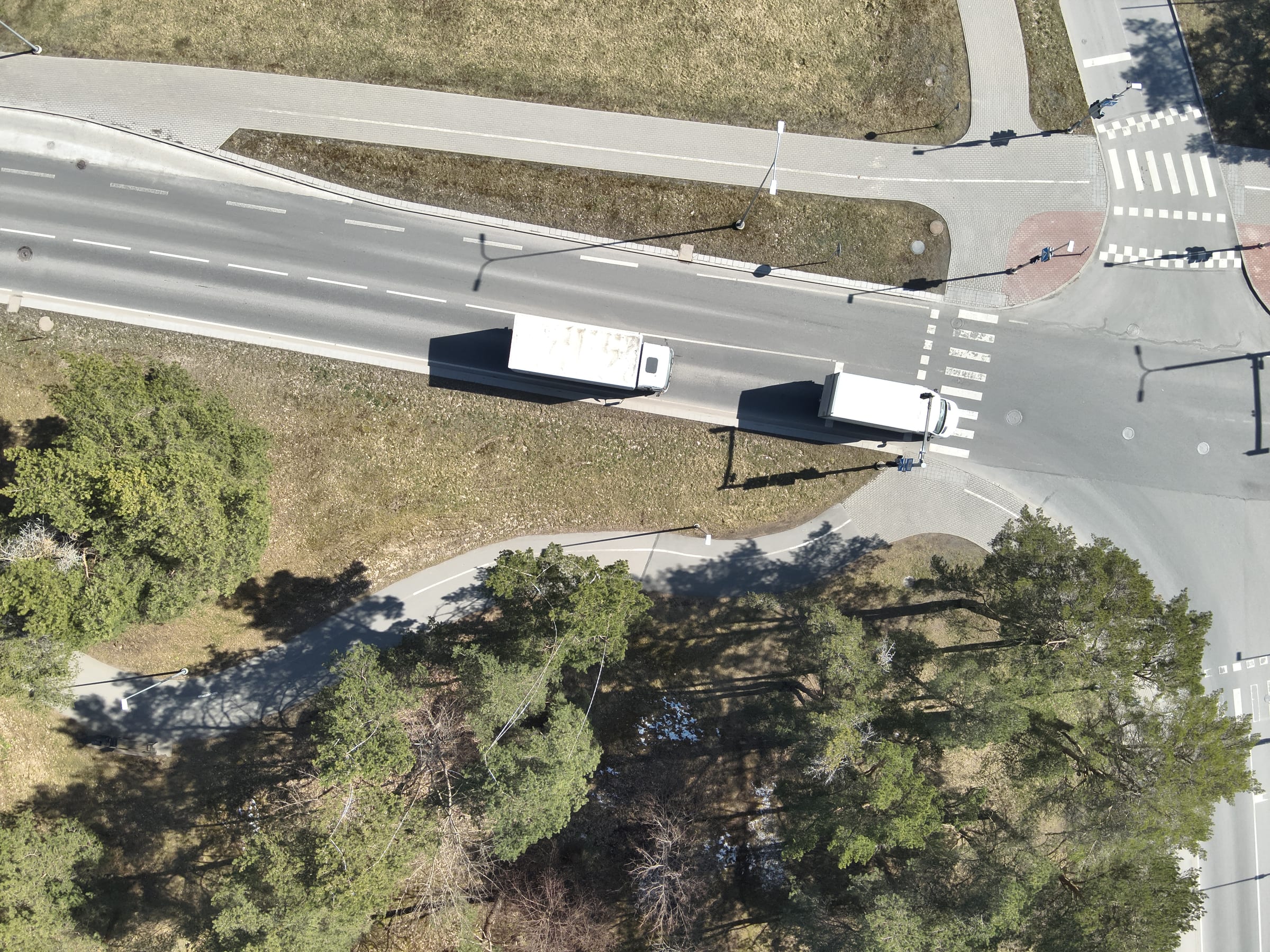
C2Grid turns drone and UAV footage into a real-time 3D picture of the operating environment - so teams can see, understand, and act.
Drone & UAV footage
Any standard aerial video
Near real-time 3D
Reconstructed automatically
Measure, detect & export
Straight into ATAK & C2







Mapping Platform
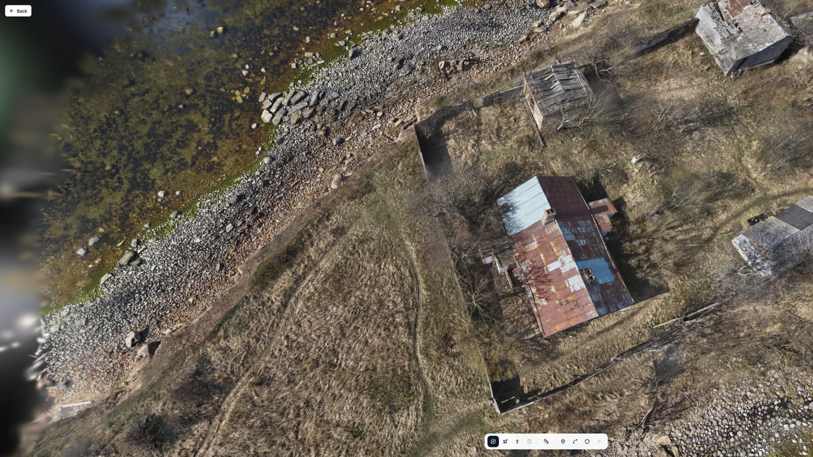
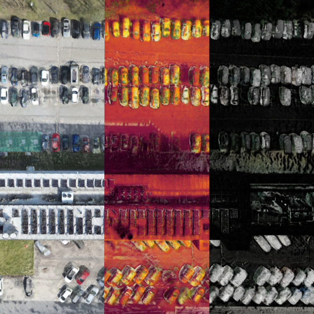
District-to-texture detail from drone footage - zoom in and still see individual surface features.
Learn moreWho it's for
From the analyst's screen to the operator's boots on the ground - each role gets the view it needs.
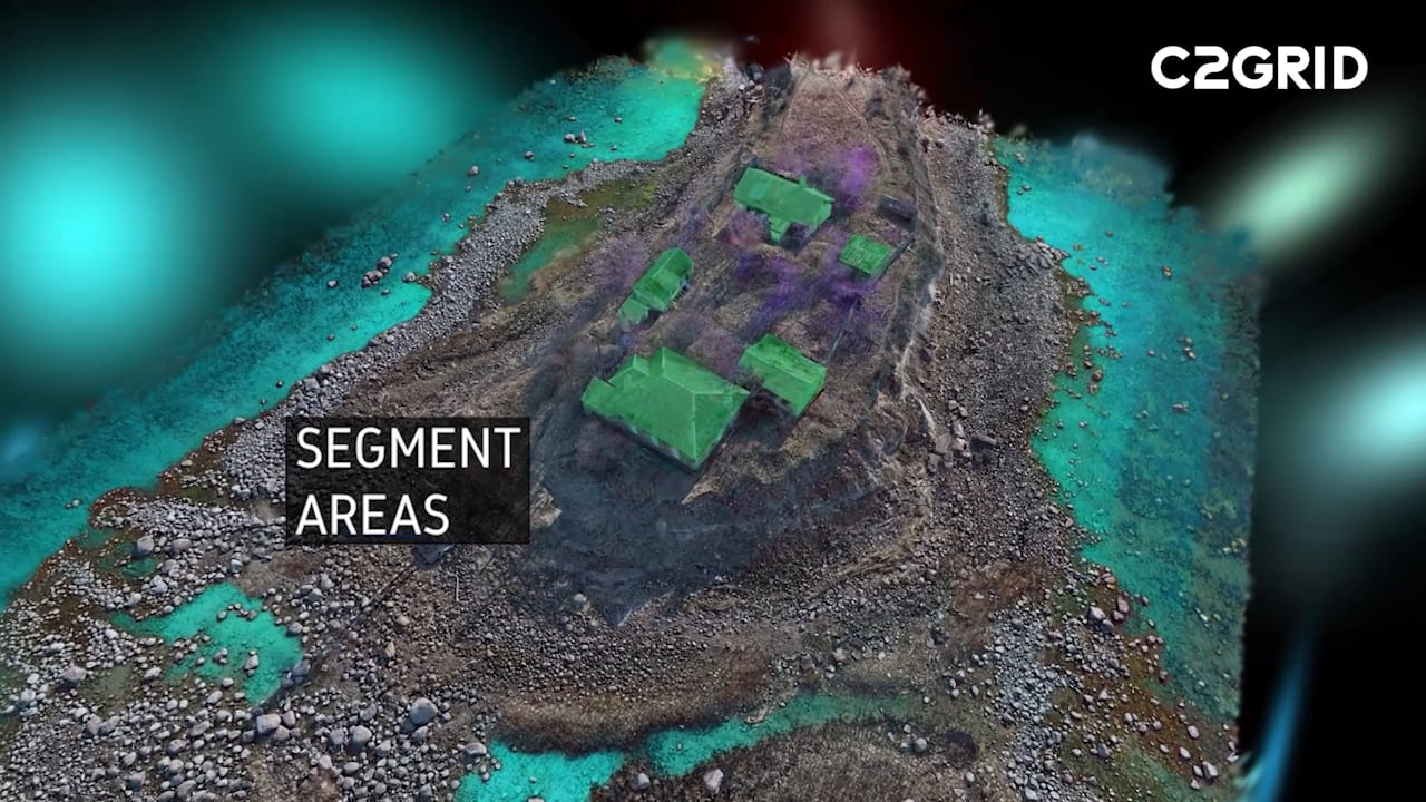
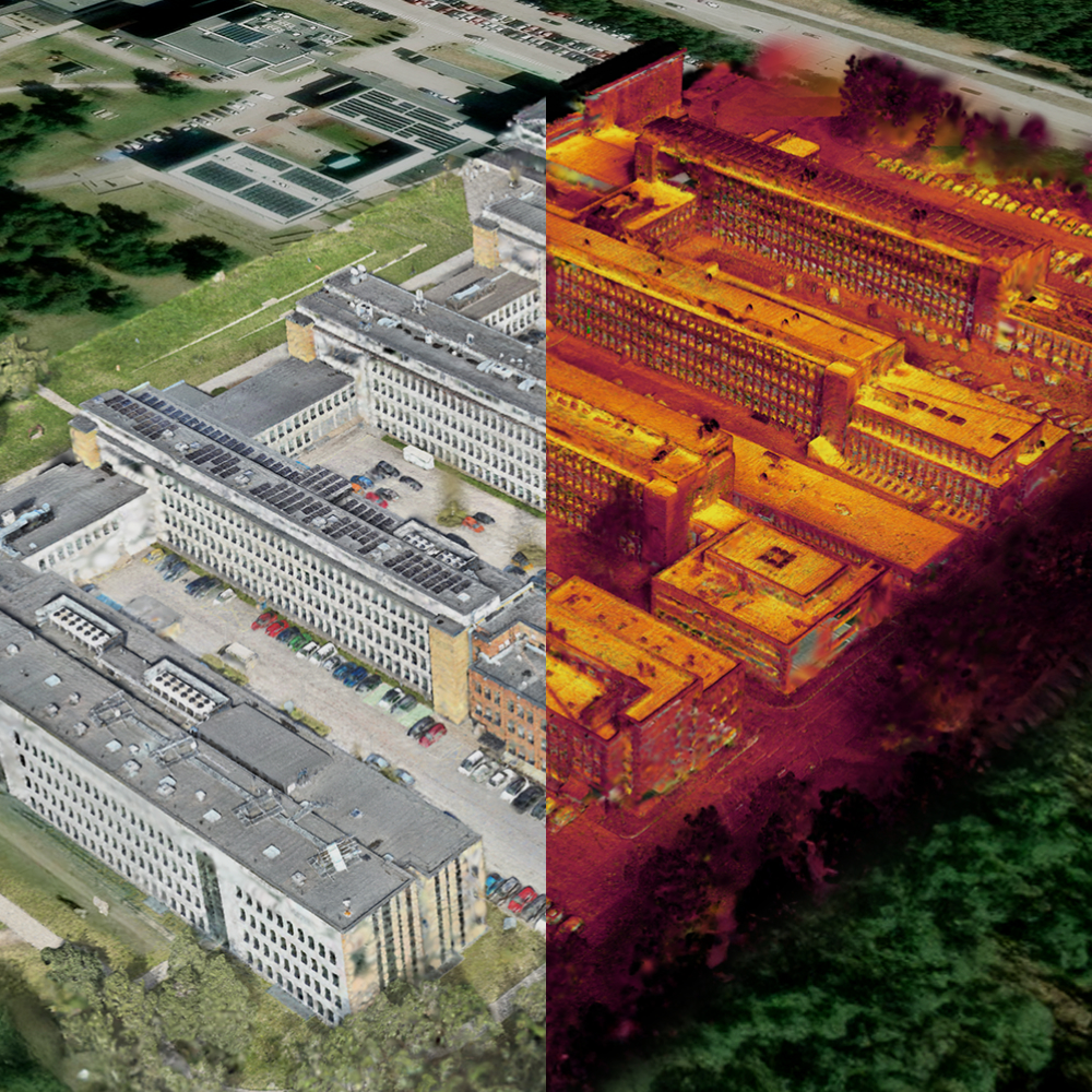
Toggle visual and thermal layers, identify activities and changes, and export insights to ISTAR workflows.
Learn moreInsights
Request a demo and see how C2Grid transforms raw drone footage into actionable 3D intelligence.